LOXA visually tracks where you go on the map, colouring in every street you walk. Post your activities, watch your exploration stats grow, plan trips and discover new areas to explore.
Be one of the first to try the BETA version now
Free on iOS and Android. See how it works.
Available now on iOS and Android. Pick your platform below and start filling your map today.
A look inside LOXA. Swipe through the screens to see your map, your activities and everywhere you can explore.


Drag or swipe to see more
Your city starts in black and white. Every walk colours it in, building a living record of everywhere you have been. Here is everything the app helps you do.
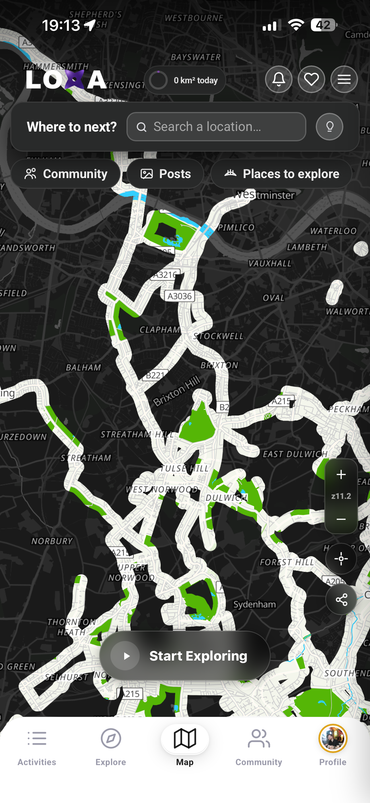
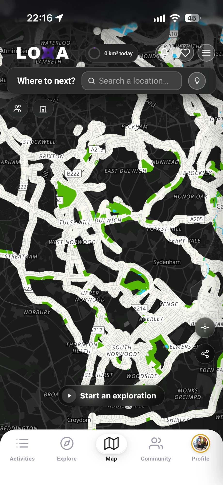
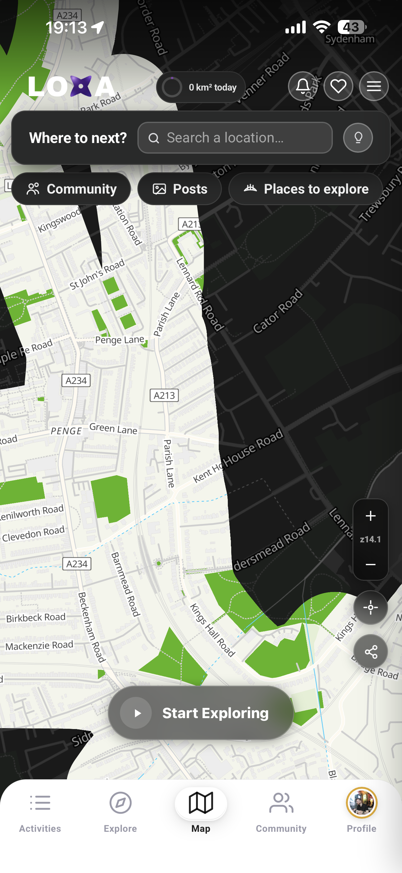
LOXA visually tracks your route on the map and permanently colours in every street you walk. The rest of your map stays uncoloured, ready for you to head out and uncover a brand new area whenever you have some free time.
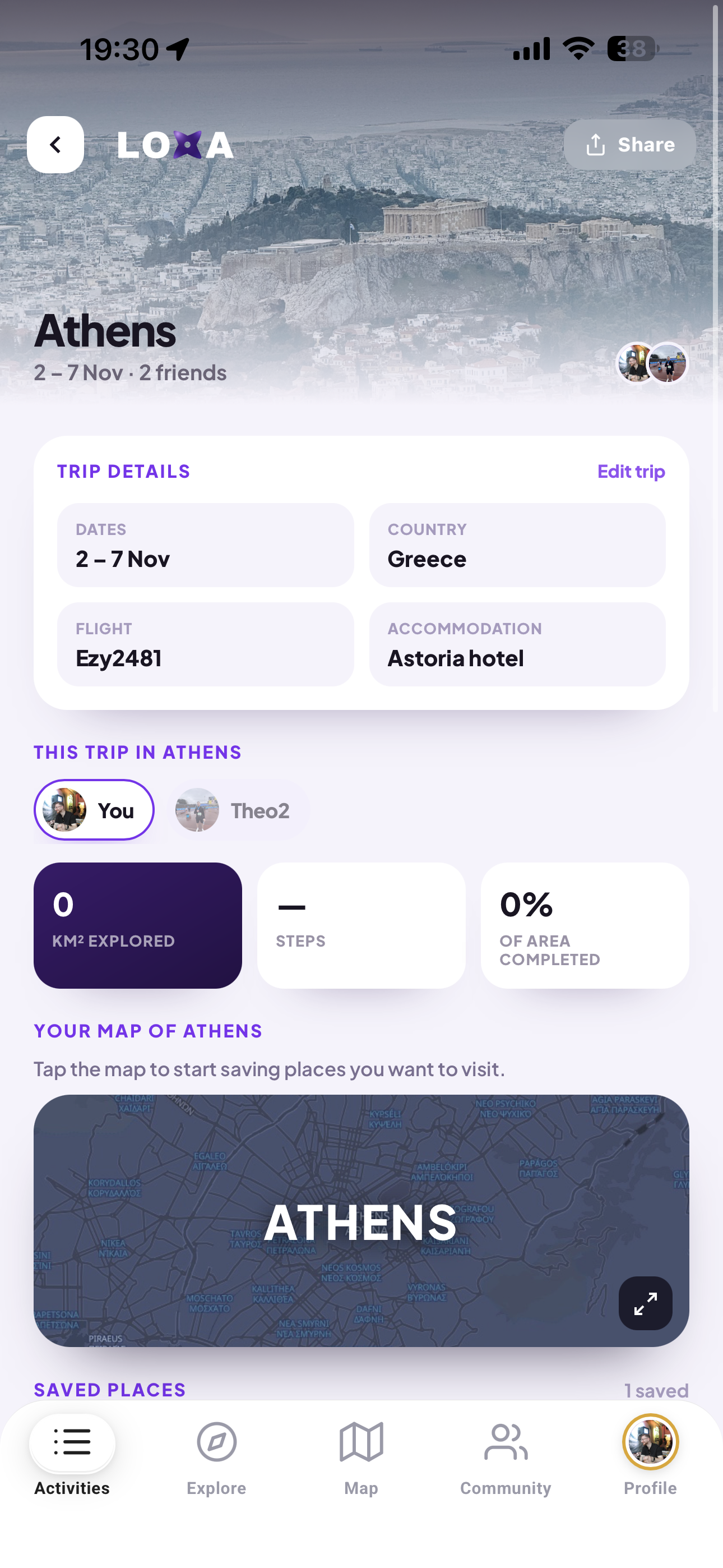
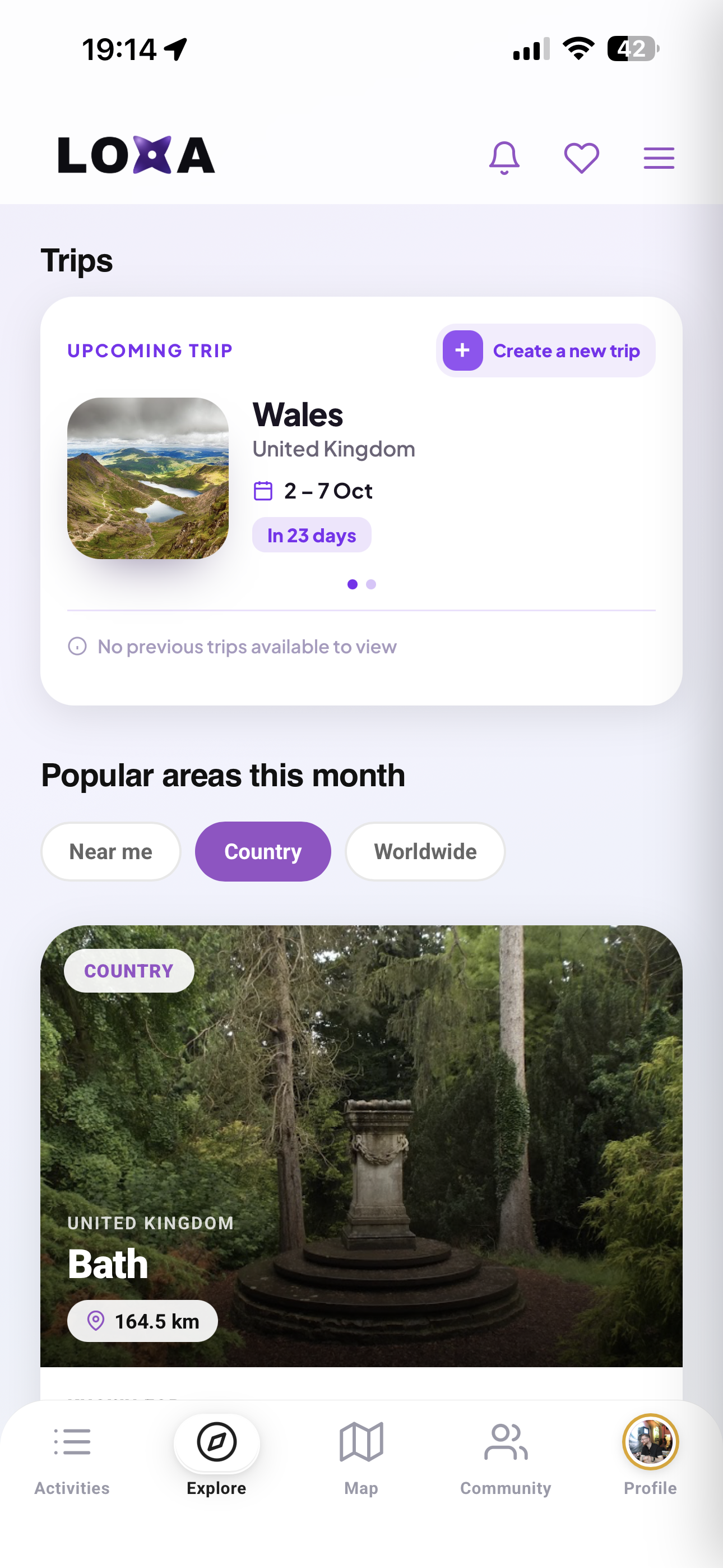
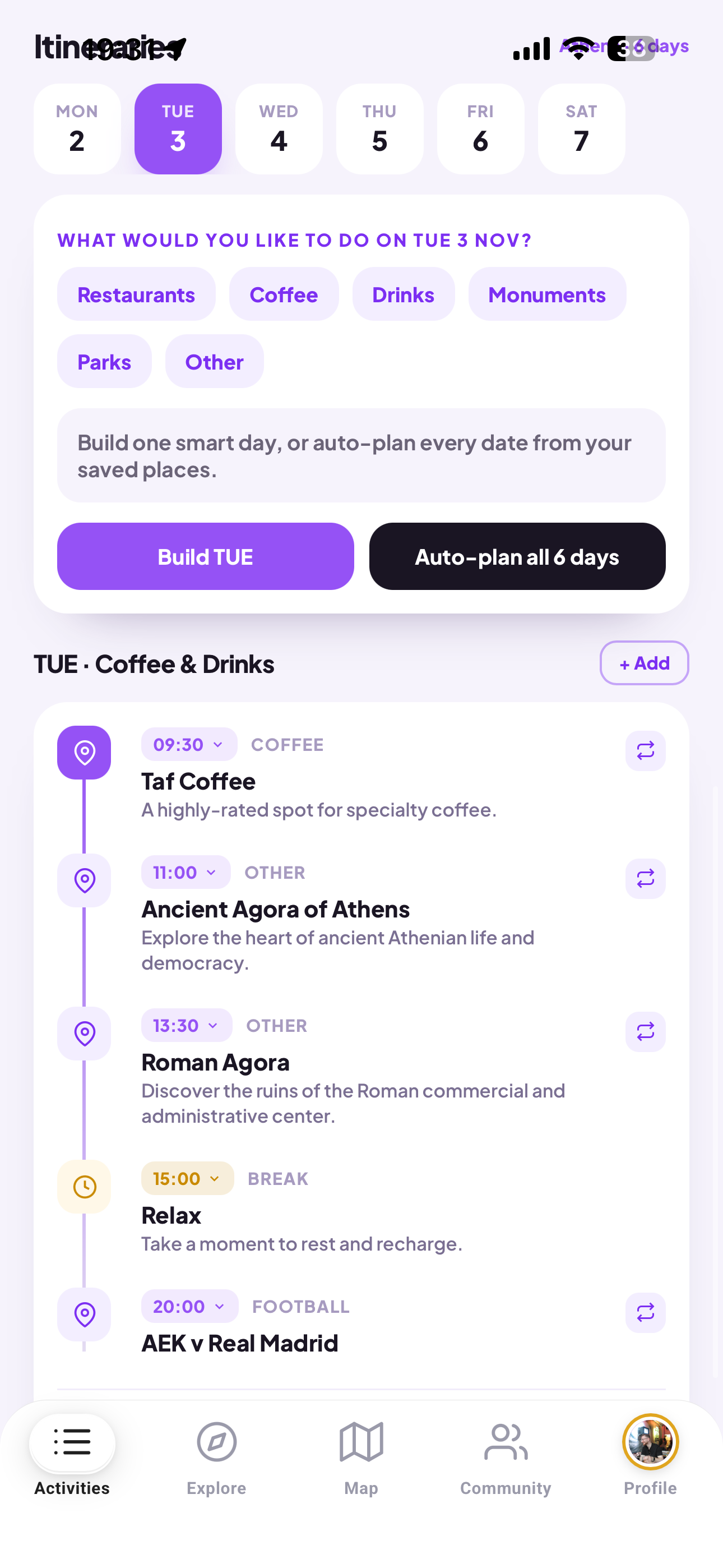
Keep everything in one place: you and the friends travelling with you can all add the places you want to visit, then LOXA builds them into a ready-made itinerary with real spots to see, one tap away from opening in Maps.
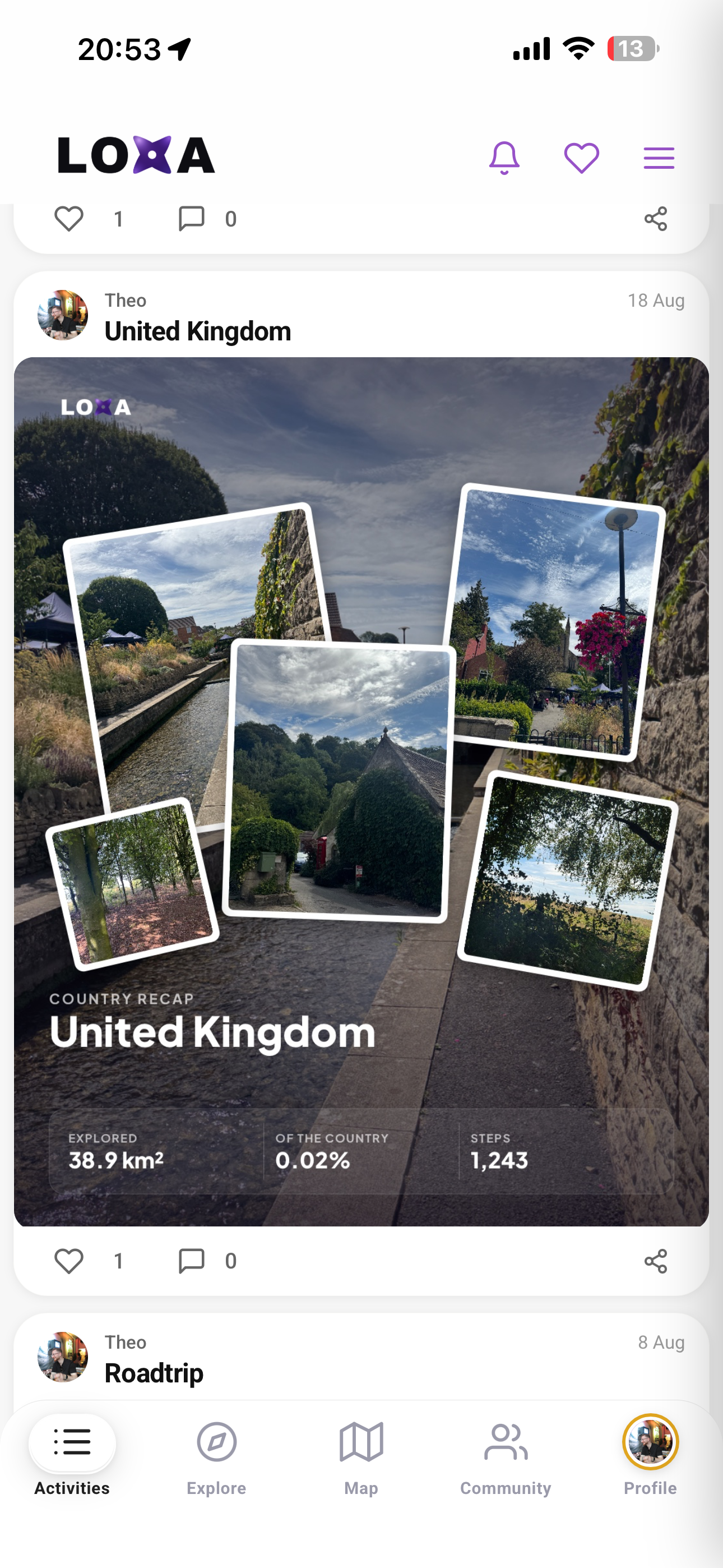
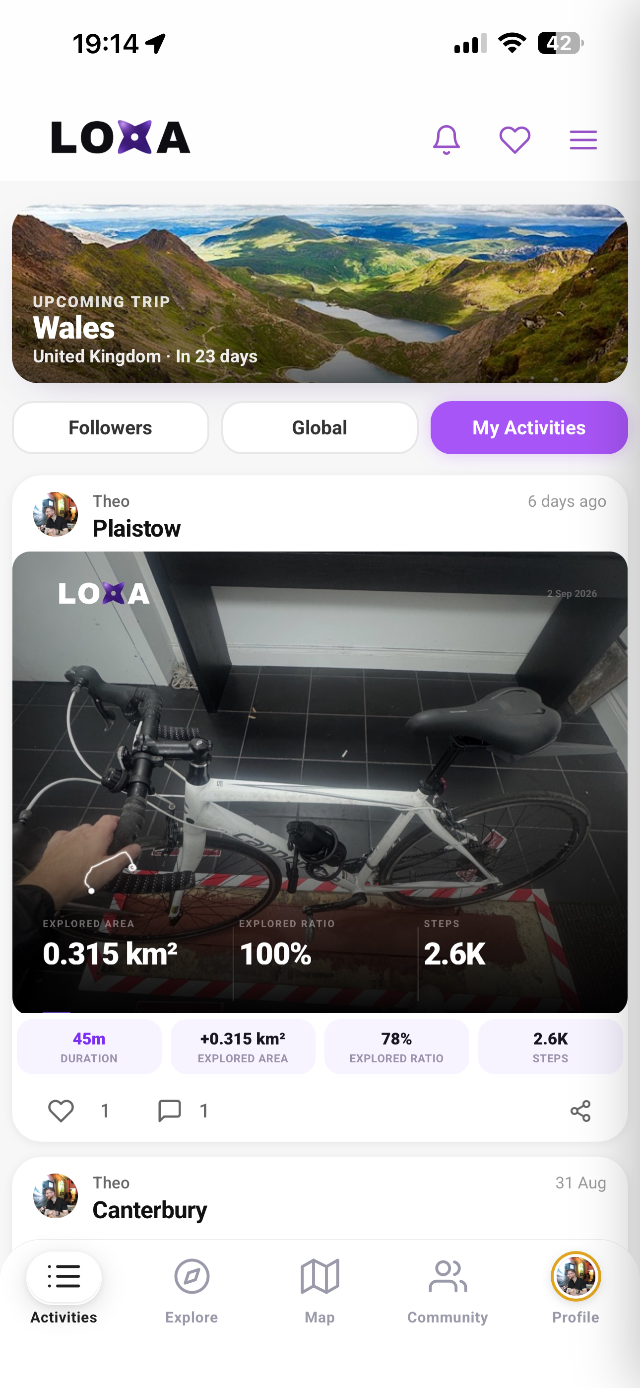
Turn any walk into a shareable card with your route drawn over your own photos, plus the stats and achievements you unlocked.
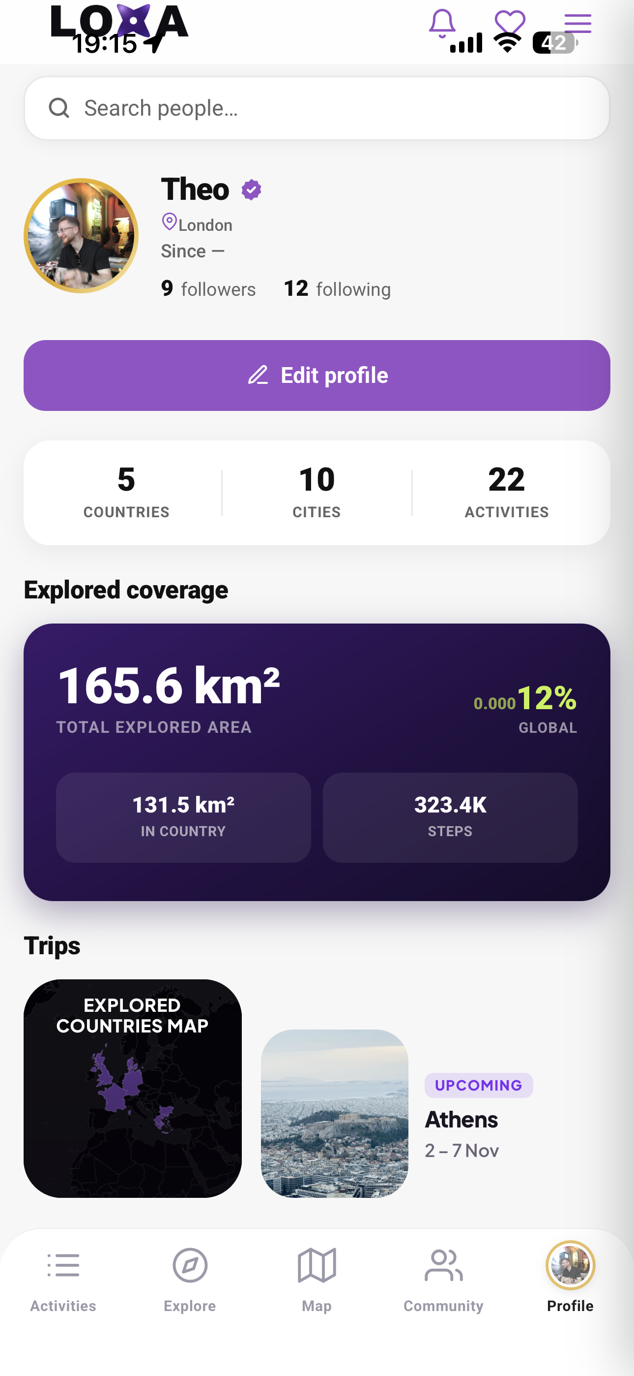
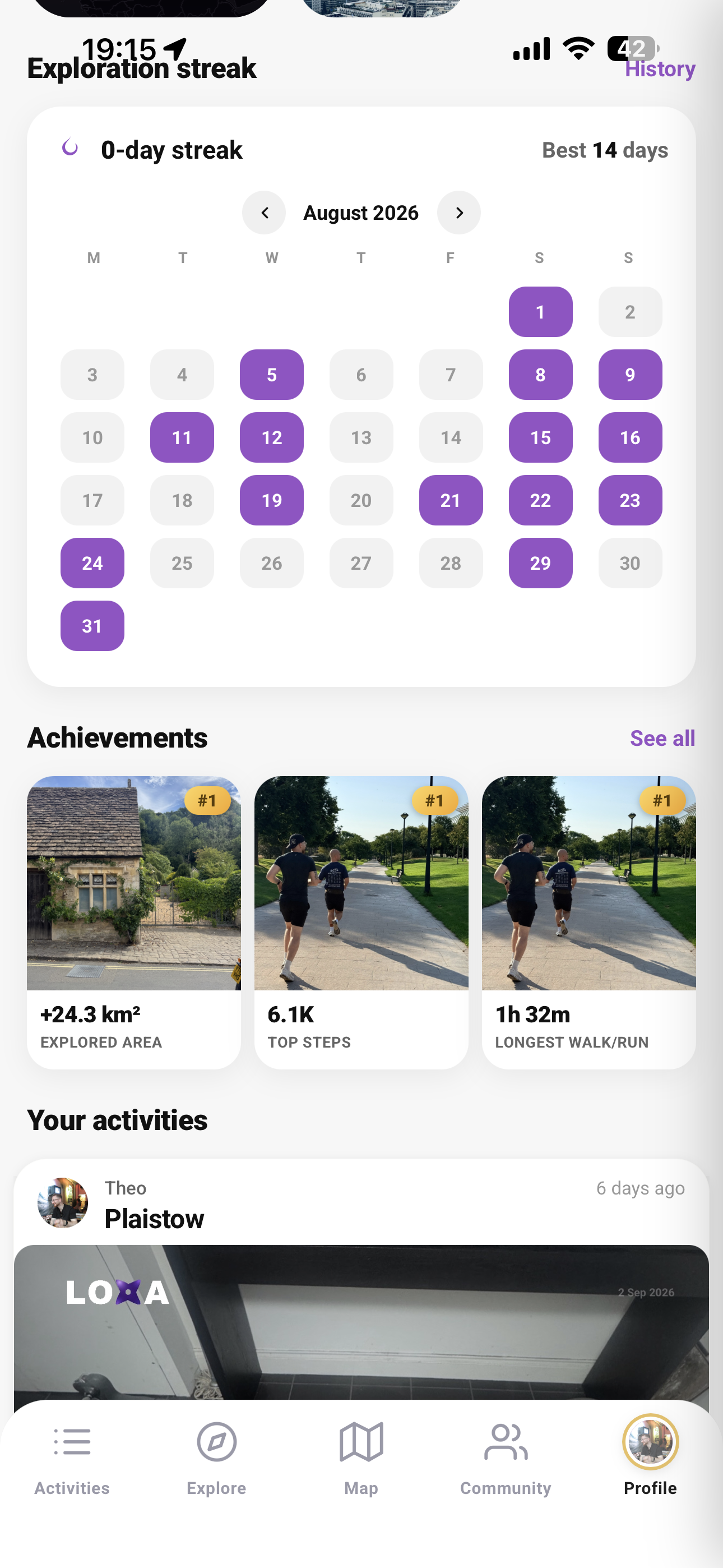
See exactly how much of your city, country and the world you have covered in km2, with achievements as you hit new milestones.
Discover walks, hidden gems and popular spots tailored to where you are and everywhere you have not been yet.
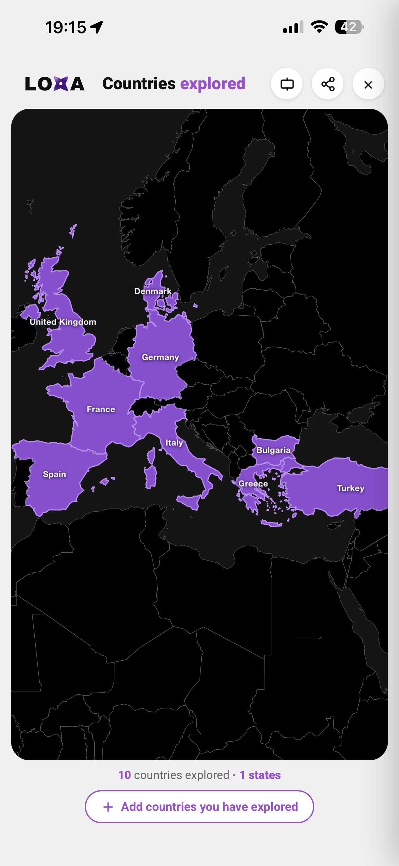
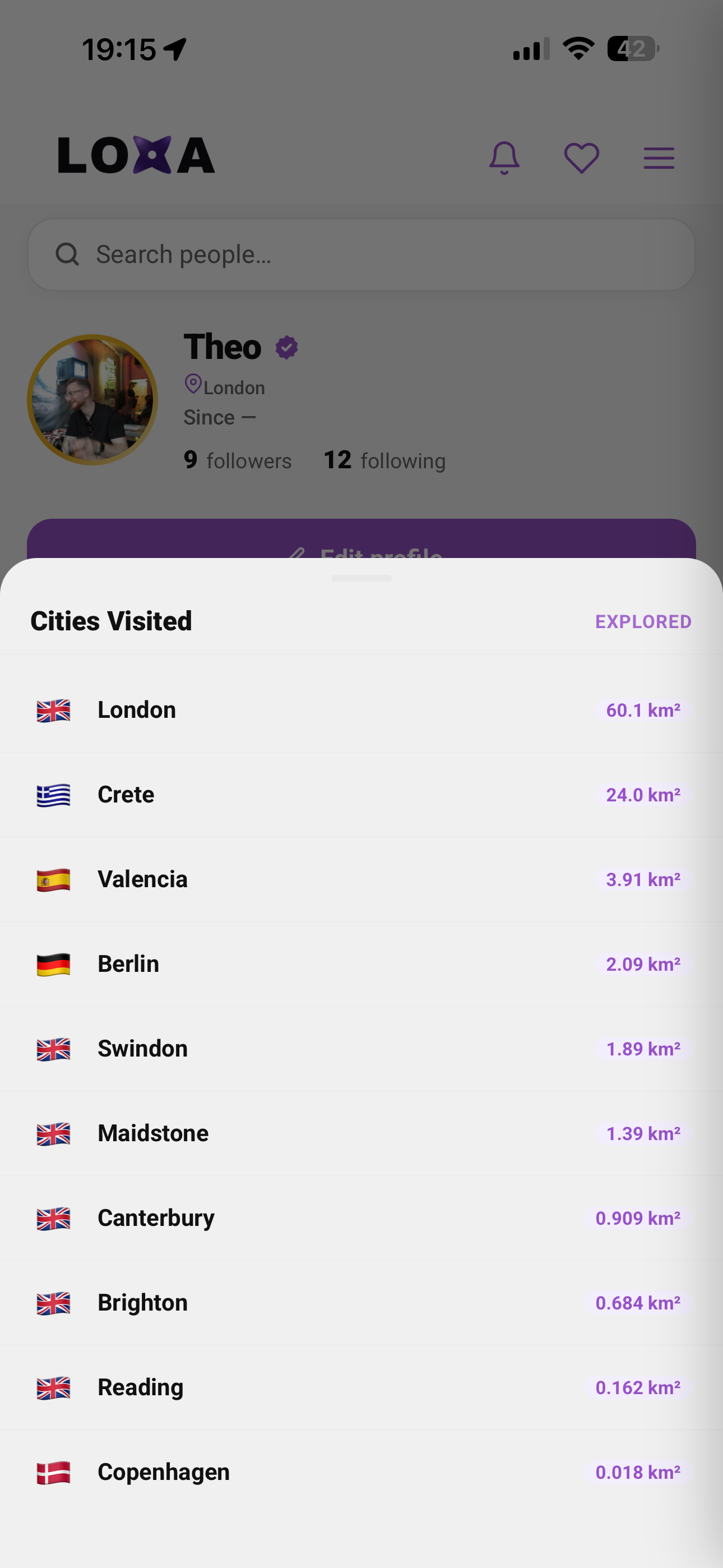
Every city and country you visit is added to your map, so your travels around the world build up into one big picture over time.
A closer look at everything LOXA can do — watch each part in action.
Start a walk in LOXA, then let it run in the background — you do not need to keep the app open. As long as LOXA stays in your app-switcher, it keeps following your route and colouring in every street you cover. Over time your city changes from black and white into a vivid record of everywhere you have been. Your start and end points are offset slightly to keep your home address private. See the video for exactly how to set it up.
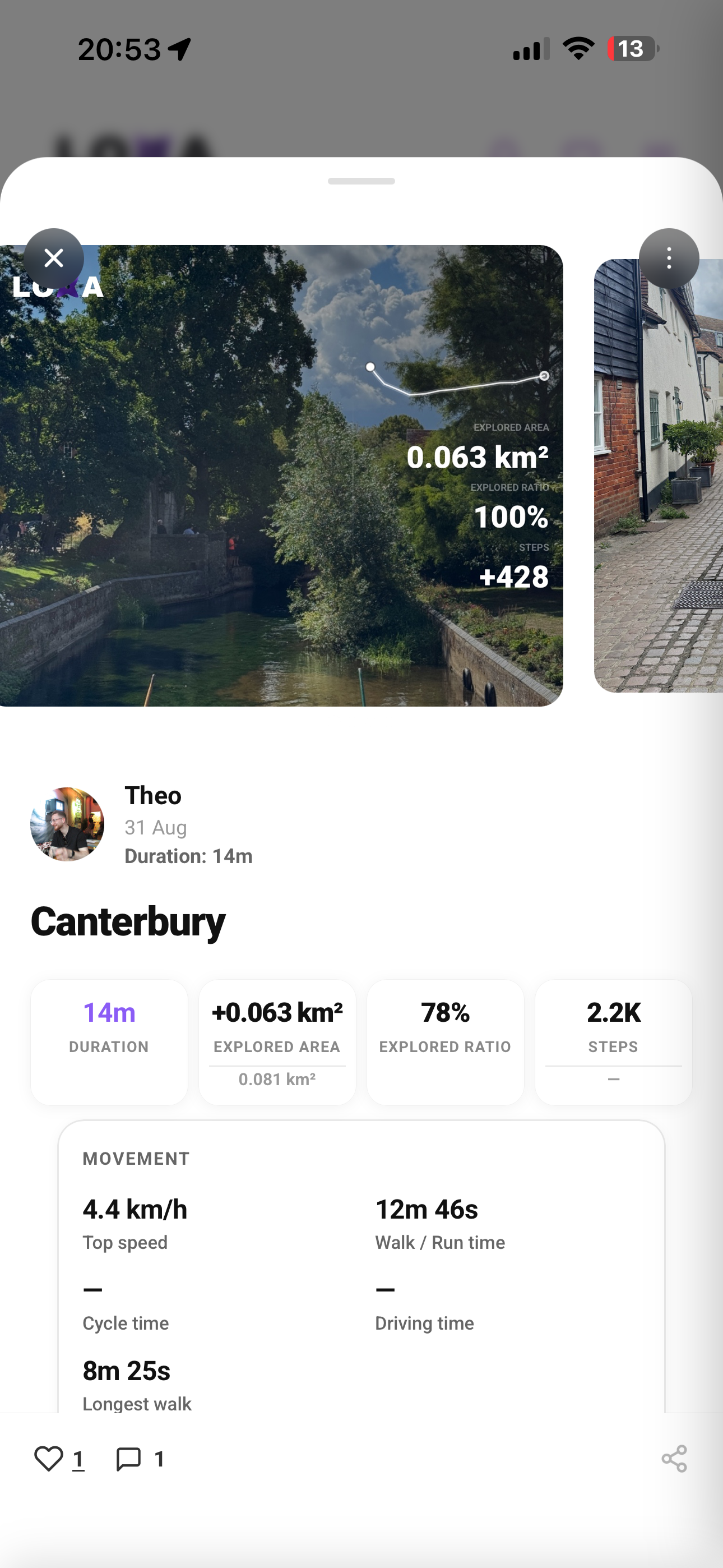
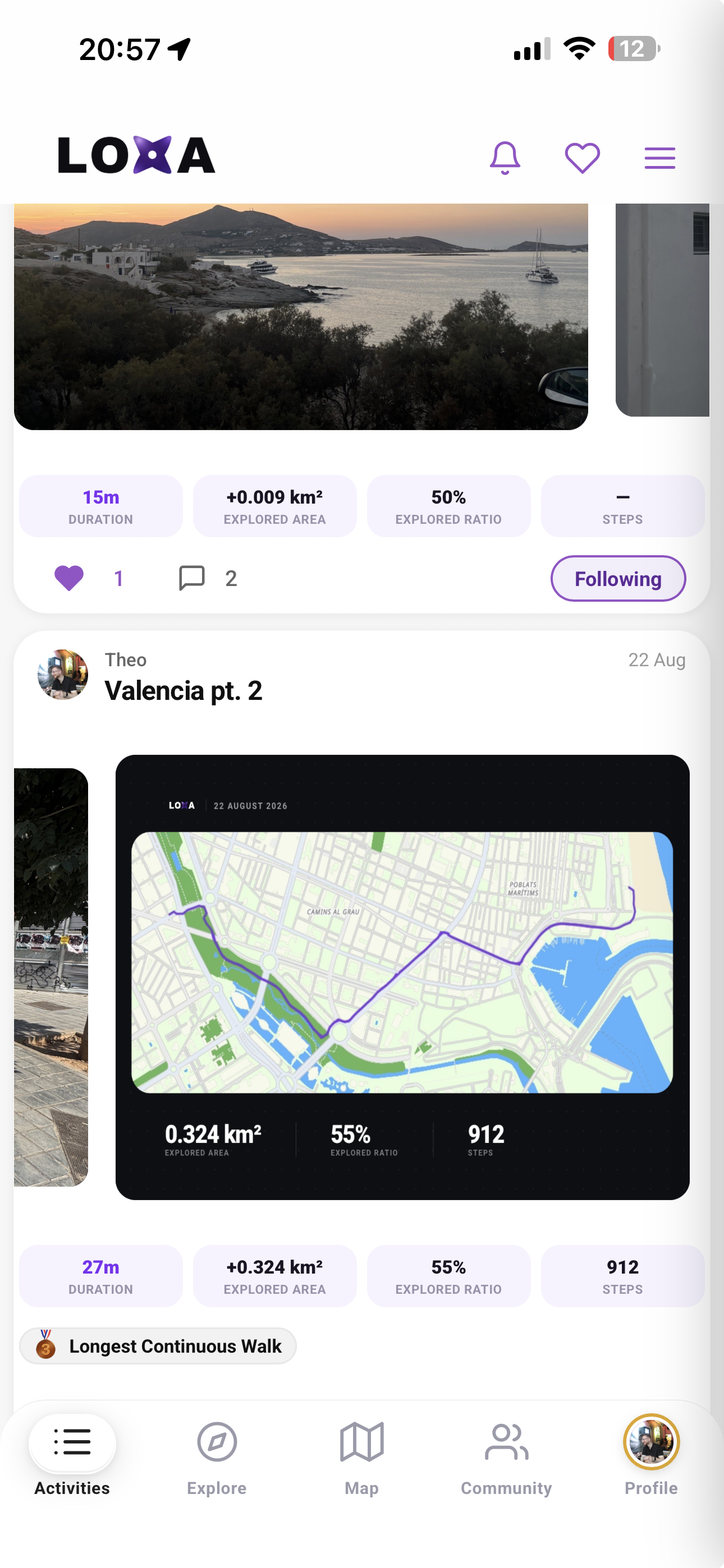
When you finish a walk, LOXA turns it into an activity card with your route drawn over your own photos, plus the area you covered, your city percentage and any achievements you unlocked. Choose who sees it, then like, comment and share straight to your feed or Instagram stories.
Save the places you want to visit and build them into a route. LOXA can put together an itinerary with real spots to see, all one tap away from opening in Maps, so planning your next day out or trip away is simple.
Not sure where to go? The Explore tab surfaces walks, hidden gems and popular areas tailored to where you are and what you have not seen yet. Browse by category or mood, from Sunset Spots and Rooftops to Chill, Outdoors and Culture.
LOXA is more fun with friends. Follow people to see their walks in your feed, compare maps to spot streets they have covered that you have not, and climb the global leaderboard ranked by how much ground you have explored.
Your stats show exactly how much of your city, country and the world you have covered in km2, alongside your walks, achievements and how you compare to other explorers. It is the full picture of your exploration, always up to date.